
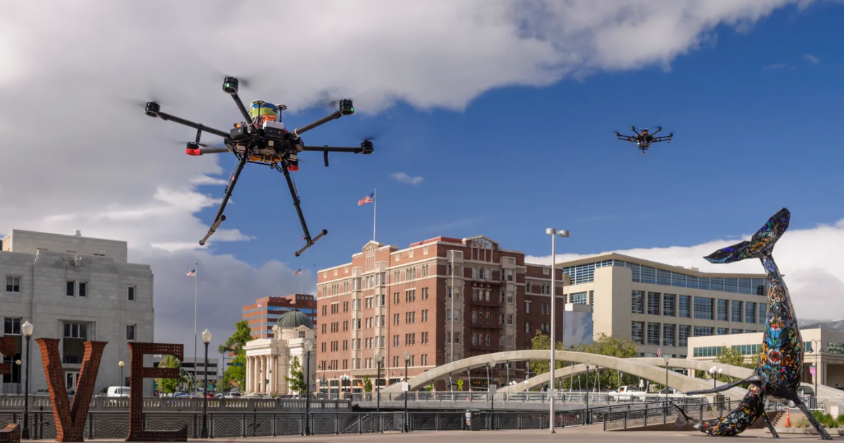
As commercial drones and air taxis multiply below 400 feet, legacy air traffic control systems face unprecedented volume constraints. This post examines how Unmanned Traffic Management (UTM) establishes automated digital skyways to separate aircraft, prevent mid-air conflicts, and coordinate crowded low-altitude airspace.
Addressing low-altitude airspace congestion
The rapid expansion of commercial delivery drones, emergency medical UAVs, and emerging electric vertical takeoff and landing (eVTOL) aircraft is transforming the sky below 400 feet into a dense operating environment. Traditional Air Traffic Control relies on human controllers managing radar displays and issuing voice commands over radio frequencies, a methodology built to handle dozens of commercial airliners simultaneously rather than tens of thousands of autonomous vehicles across an urban corridor. Without a modernized coordination mechanism, dense unmanned operations introduce severe collision risks for low-flying emergency helicopters, general aviation aircraft, and other commercial drones sharing the same airspace.
Engineering software-driven skyways
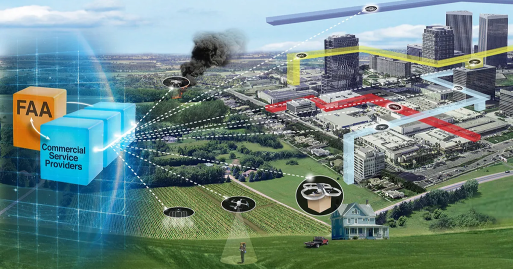
To resolve these capacity constraints, civil aviation authorities are implementing Unmanned Traffic Management (UTM), replacing manual tower communications with a decentralized digital network where automated platforms exchange telemetry data in milliseconds. Through automated authorization frameworks such as the Low Altitude Authorization and Notification Capability (LAANC), drone operators request and receive digital airspace clearance via mobile applications within seconds rather than navigating prolonged manual paperwork. Furthermore, participating commercial operators continuously broadcast live flight plans across shared networks, establishing complete situational awareness across multi-operator environments without human intervention.
Deconflicting trajectories and collision risks
UTM systems maintain separation through advanced spatial mathematics, wrapping each airborne vehicle in a dynamic 4D safety bubble that accounts for three-dimensional positioning and precise timing. The network deconflicts flight paths prior to departure, automatically adjusting launch schedules or rerouting trajectories if two mission profiles intersect at the same location and timestamp. To address non-cooperative obstacles such as unmapped structures, birds, or uncrewed gliders, aircraft utilize onboard Detect-and-Avoid (DAA) sensor suites and computer vision to execute real-time avoidance maneuvers without ground control assistance.
Modern aviation authorities are organizing low-altitude operations into distinct operational layers to ensure harmonious coexistence across all flight categories. The stratum from the ground up to 400 feet is designated for fully automated inspection and logistics drones, while regional air ambulances and passenger eVTOLs operate between 500 and 4,000 feet, leaving high-altitude corridors above 10,000 feet dedicated entirely to commercial passenger airliners. The digital infrastructure proven by autonomous cargo drones today establishes the core technological foundation required to certify and operate autonomous passenger transport in future air transportation networks.